
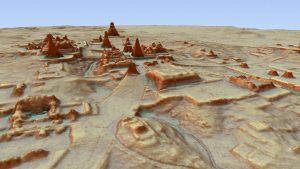
3D view of Tikal from southeast. Image: PACUNAM/Canuto & Auld-Thomas
The ruins of an enormous Maya ‘megalopolis’ have been discovered in Guatemala with the help of the remote sensing technique LiDAR, according to a bombshell exclusive from National Geographic on Thursday. This vast lost city envelops sites like Tikal, Holmul, and Witzna—known for their temples and pyramids—but shows that these famous heritage areas are the tip of the iceberg of this lost urban network.
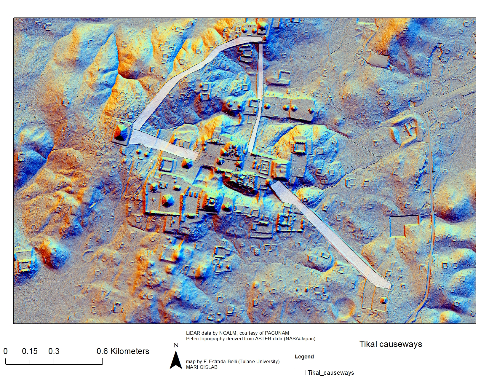
Hidden under the dense jungle canopies of the Maya Biosphere Reserve, more than 60,000 human-made features—homes, canals, quarries, highways, and more—have been identified in aerial imagery collected by an international collaboration of researchers headed by the PACUNAM Foundation, a Maya cultural and natural heritage organization.
This pre-Columbian civilization is estimated to have peaked some 1,200 years ago. The data suggests it may have supported a population of 10-15 million over the newly surveilled […]


Amazing! When we finally understand that the picture we have been painted of or past has been very distorted and we begin to realize the truth..we can move forward with grater clarity of who we are and where we want to go with our society.